From project experience, selection mistakes happen before site arrival. Engineers pick a 3D laser scanner by brand or price and find the mismatch when registration errors appear at delivery. The right choice starts with understanding what the project demands: range, accuracy tolerance, indoor versus outdoor capture, and what the downstream pipeline can handle.
Phase-Based vs. Time-of-Flight: Which Principle Fits Your Work
Both principles produce point clouds, but the physics differ, and that defines what each laser scanner 3D does best:
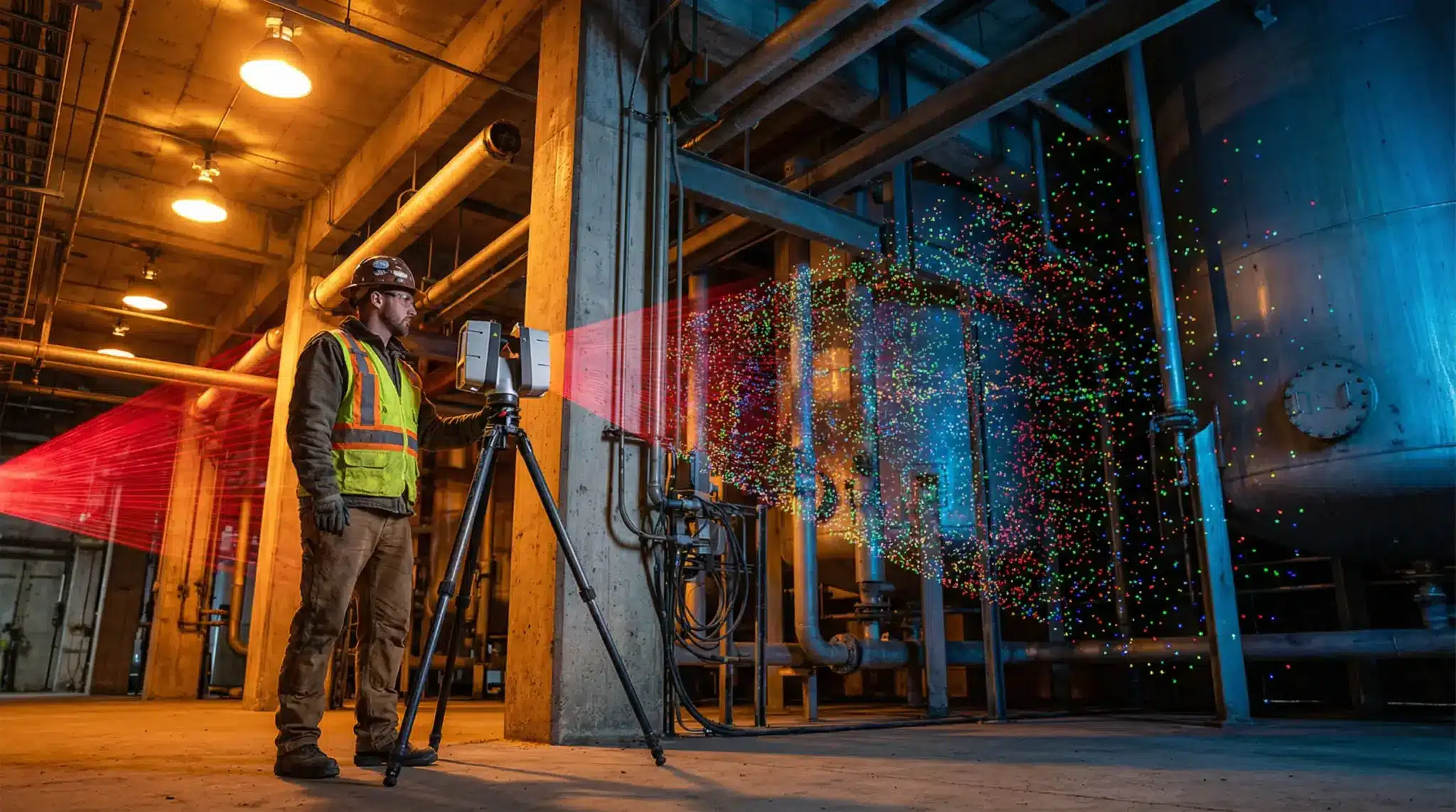
- Phase-based scanning measures the phase shift of a continuous wave: ±1 mm range noise at 50 m, up to 1 million pts/sec, effective range around 120 m. These units dominate indoor work including BIM capture, industrial interiors, and as-built documentation.
- Time-of-flight measurement calculates distance from pulse travel time: ±3 mm at 150 m, range to 600 m. For outdoor work on dam faces or large infrastructure, ToF is the only viable option.
Key Applications: From BIM to Industrial Inspection
Each 3d laser scanner class fits a specific project type. Here is how that maps in practice.
- As-built BIM: Phase-based terrestrial laser scanner at ±1–2 mm registered to control points. Scan-to-BIM pipeline efficiency depends on density — over-scanning adds processing time without improving model quality.
- Deformation monitoring: Repeated ToF scans; point cloud registration compared between epochs. Angular accuracy below 8 arc-seconds is critical.
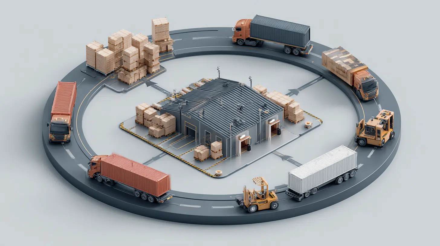
- Industrial plant capture: 12 phase-based stations cover a full refinery section in one shift.
- Façade survey: 0.018° resolution produces 3 mm point spacing at 10 m, sufficient for crack mapping.
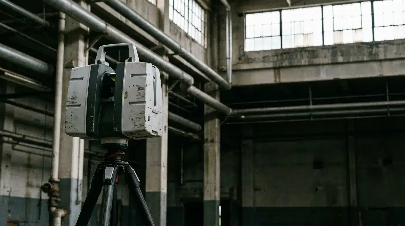
- Tunnel inspection: 3D laser scanners here require ±2 mm at 10 m and IP54 minimum.
What to Evaluate Before Buying 3D Laser Scanner
3d laser scanner surveying needs a spec framework tied to project type.
Spec checklist for project-based selection:
- Scan range: Does the unit reach the furthest target in the field?
- Range noise: Does the stated figure match your tolerance?
- Angular accuracy: Below 8 arc-seconds for deformation; 15–20 for topography.
- Scan speed: Higher pts/sec reduces field time but increases data volume.
- Field of view: 360° horizontal standard; below 300° vertical creates blind spots.
- Software ecosystem: Native .e57, .las, .pts export and BIM plugin compatibility.
Workflow from capture to deliverable:
- Site setup with total station or GNSS control network.
- Scanner positioning with 20% minimum cloud overlap between stations.
- Field capture with registration verified before repositioning.
- Office registration and noise filtering.
- Format export for BIM, GIS, or inspection report.
Scan density vs. cost: 6 mm point spacing at 10 m covers LOD 300 for most 3D laser scanners in BIM. Pushing to 3 mm quadruples data volume without improving the deliverable unless facade detail is in scope.